|
NO Reproduction in Whole or in Part,
on ANY, and ALL of my Pages,
Including Text and Pictures,
May be made, without the express Written Permission
of
Web Editor, Doug Gent
© 2016
Want to add a link to my
pages?
see my
Copyright Information
Page
for the only Authorized Picture Link allowed.
All Pictures on all my web pages, are now Visibly Watermarked,
All my pages are now Right Click, (copy and paste), disabled.
I ask everyone that enjoys free history sites,
to start policing these violations.
If we don't stop this, no one will donate pictures to me, or anyone,
and we all loose.
If you see one of my pictures on Facebook, etc.
tell them to remove it
Photos Below Taken By
Reginald John "Reg" German
b- Jan 6, 1906 in Middlesex, England
d- Dec 6, 1980 in Surrey, BC
These are Old B/W Archive Photos,
Some he had labelled, some not.
Reg worked at
Anyox,
ca 1936-1940,
and the Big Missouri Mine, north of
Stewart
BC,
as the CM&S Wireless Radio Operator. He
eventually settled in Trail BC, where he retired
as an Instrument Technician for CM&S.
Photos donated by his daughter-in-law, Rita German,
with thanks!
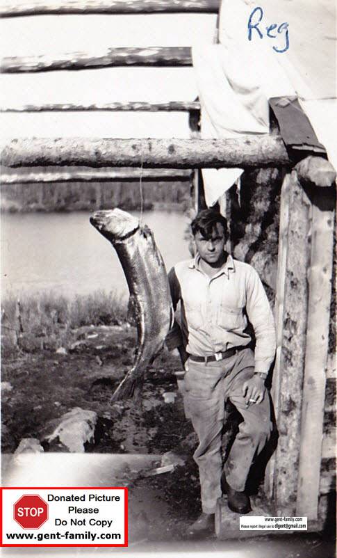
Reg German, with a fish, NWT
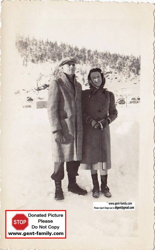
Reg German, and his wife Kitty, ca 1936
Anyox
Pictures
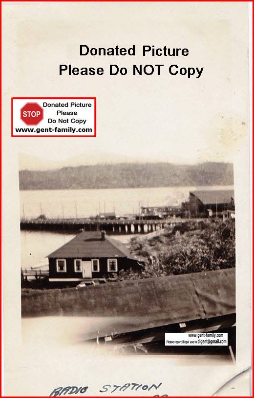
Anyox Wireless Radio Station


Anyox Staff House

Anyox Wharf My
Anyox
Web Pages
Big
Missouri Gold Mine Pictures
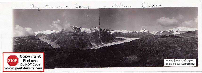
Big Missouri Camp and Salmon Glacier
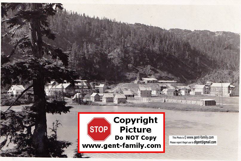
Big Missouri Camp
Photo taken from the Powerhouse area, Hog Lake in foreground
Mine Manager's house on left. Big Missouri Claim
was one of the first in the Salmon River District
It was located in 1904, by Harrison and Raerick,
2 experienced Alaskan Prospectors
It was renamed the Golden Crown.
Abandoned in Apr 1942.

3 Gold Bricks


Various Views of Big Missouri Camp
Middle Picture, Mine Powerhouse can be seen
at the top of the picture,
It produced approx 1000 KW,
It was located on other side of Hog Lake


Buildings at Big Missouri
One possibly his radio room

Salmon Glacier
Salmon Glacier located approx 16 miles (25km) north of
Stewart
BC
Lat- 56°07'00''N, Long- 130°04'00''W
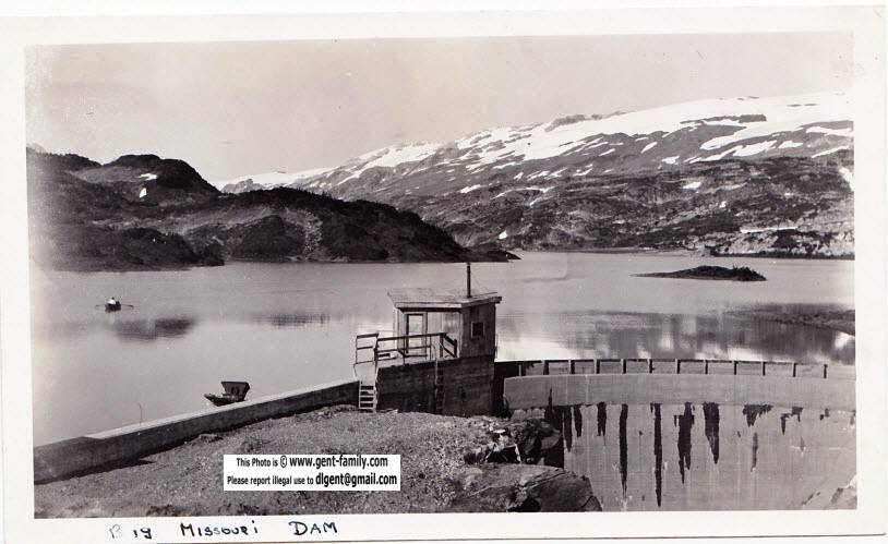
Big Missouri Mine Dam
located west side of Long Lake
built in 1937 by Cominco, demolished in the 1980's
length 30 mtrs, height 12 mtrs. Long
Lake- Lat- 56°07'07''N, Long-129°59'34''W
West of American Creek and South of Divide Lake,
in the Cassiar Land District
Misc. Pictures

Midnight Sun, NWT

Dog Pack Animals, with 2 unknown men, and unknown place,


Horse Pack Train
Persons and Place unknown
If you recognize this place, please let me know
Long boxes could be drilling pipe?
or drilling samples?
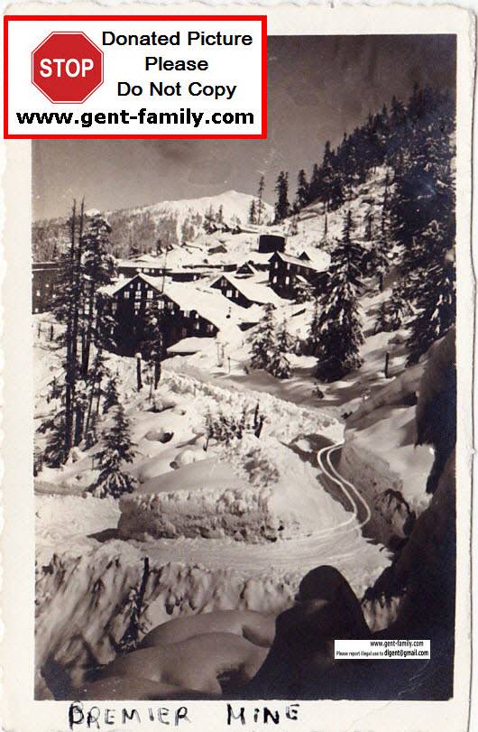
Premier Mine
1918-1953
Premier Mine, ca 1920. was owned by the Premier
Gold Mining Company,
a Corporation largely controlled by Guggenheim Interests.
250 men worked at this mine at that time.
They were working on a cyanide mill at that time.
Wonder why the cyanide levels are so high in the Salmon River now?
|